Iran · Population

On this page you can find past, current and future population statistics for Iran (from 1950-2100), population map, demographics, live population counter etc. . Question: What is the population of Iran? Answer: Current population of Iran is: 89 639 816*[1], area 1648000 km², population density 54.39 p/km². Capital of Iran is Tehran. Continent: Asia.

Iran · Population 1950-2100

Iran · historical and predicted populations (both sexes) for the period 1950-2100 (millions) De facto population in Iran as of 1 July of the year indicated. Source United Nations Population Division [1].

What was the Iran population at your birthday?*

Enter your birth date to find out. [1]

year:***
month:
day:

Current Iran population

89 639 816

Today This year
Population growth Today
xx
Changes every 33.862 sec.
Population growth This year
xx
Births Today
xx
Changes every 24.12 sec.
Births This year
xx
Deaths Today
xx
Changes every 83.839 sec.
Deaths This year
xx

Sources: [1]
Today's statistic since midnight 00:00.
This year, statistic changes since 1st January
Population = Births** - Deaths

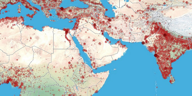
Iran population map

City density [2] • population density [3] • Legend (Click on marker to hide it)
• Population Growth rate: 2552 / day = 106.32 / hour = 1.772 / minute = 0.0295 / seconds
• Births Growth rate**: 3583 / day = 149.24 / hour = 2.486 / minute = 0.0419 / seconds
• Deaths Growth rate: 1031 / day = 42.94 / hour = 0.716 / minute = 0.0119 / seconds.

Current Iran population by age and sex for 2026-10-18*

  Male % Female
0-4 3 176 692 ⇐+13.1% 2 809 582
5-9 4 200 274 ⇐+0.1% 4 197 478
10-14 3 480 494 +3.5%⇒ 3 603 878
15-19 2 023 163 ⇐+12.2% 1 803 923
20-24 1 491 398 ⇐+88.1% 793 000
25-29 3 113 829 ⇐+18.4% 2 630 956
30-34 5 569 305 +8.8%⇒ 6 059 056
35-39 5 445 310 +21.2%⇒ 6 599 349
40-44 3 568 897 +14.9%⇒ 4 100 125
45-49 2 946 271 ⇐+20.7% 2 441 812
50-54 2 842 018 ⇐+22.4% 2 321 174
55-59 2 189 730 ⇐+1.4% 2 159 357
60-64 1 935 841 +4.6%⇒ 2 024 737
65-69 1 464 521 +10.7%⇒ 1 621 798
70-74 544 161 +22.7%⇒ 667 899
75-79 349 982 ⇐+9.2% 320 577
80-84 333 794 ⇐+20.9% 276 093
85-89 206 183 ⇐+21.1% 170 203
90-94 66 991 +2.4%⇒ 68 578
95-99 10 013 +5.5%⇒ 10 564
100+ 405 ⇐+0.5% 403

Sources: [1]

Ads

age of mother

Childrens per woman

Life expectancy at birth

Sources, Notices

* Value is calculated with linear interpolation from 2 nearest estimated (date->population) data (unofficial).
** Net migration is included in Births with this calculation: Births = Population[1] + Deaths[1].
*** For years before 1950 we dont have population data. Value is approximate calculation using function: 1900 population = 70% of 1950 population.
[1] United Nations, Department of Economic and Social Affairs, Population Division (2015). World Population Prospects: The 2015 Revision. Data are estimates and projections according to a medium-fertility variant. Reused with the permission of the United Nations. Downloaded: 2015-11-15 (un.org)
[2] City density map, generated by population.city using data provided to us by 1km.net website. Every circle is city with population over 5000. Link
[3] Population density map generated by instructions from daysleeperrr on reddig. Link1. Used data source is the Gridded Population of the World (GPW), v3 online at the the Socioeconomic Data and Applications Center (SEDAC) at Columbia University. Link2. Additional urban land cover: Extracted from Global Land Cover Characteristics Data Base Version 2.0 and Binary MOD12Q1 data on shadedrelief.com. Link3 (PNG,0.5Mb).