Sources, Notices
1841o, 1851o, 1861o, 1871o, 1881o, 1891o, 1901c, 1911c, 1926c, 1936c, 1946e, 1951c, 1956c, 1961c, 1966c, 1971c, 1979c, 1981c, 1986c, 1991c, 1996c, 2002c, 2006c, 2011c. Legend: e-estimate, c-census, o-other, ..
* Unofficial, calculated population.
** In some cases boundaries changes also influence the comparability of the population data. Data is provided "as is" without warranty or any representation of accuracy, timeliness or completeness.
Terms of use.
[1] Sources
•
Central Statistics Office, Ireland•
Irish population analysis Y. 1841-2011•
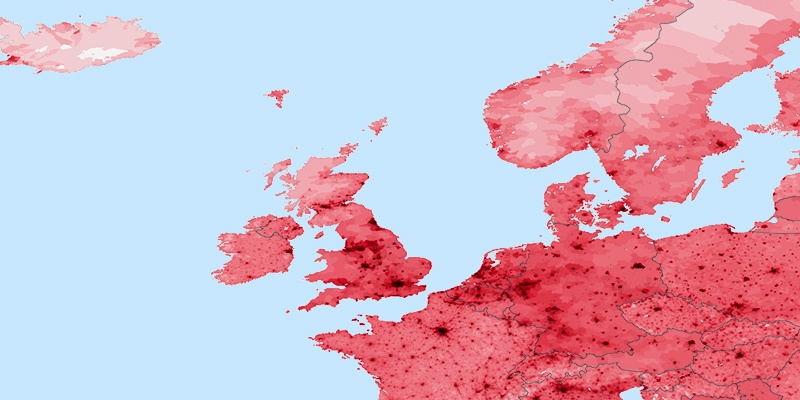
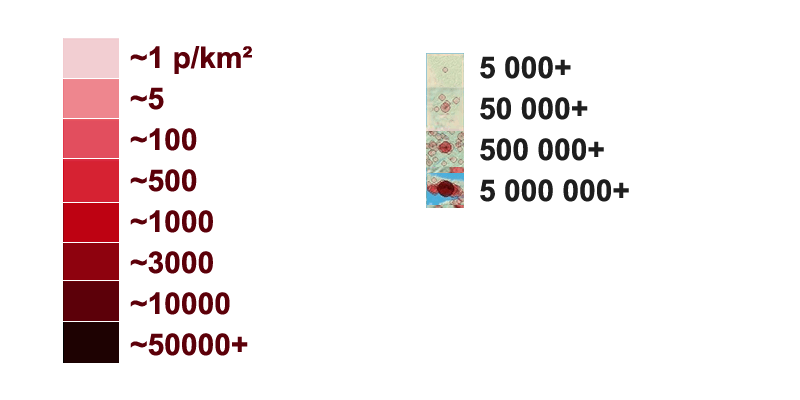
StatBank People and Society, Census of Population [2] City density map, generated by population.city using data provided to us by 1km.net website. Every circle is city with population over 5000.
Link
[3]
Population density map generated by instructions from daysleeperrr on reddig.
Link1.
Used data source is the Gridded Population of the World (GPW), v3 online at the the Socioeconomic Data and Applications Center (SEDAC) at Columbia University.
Link2.
Additional urban land cover: Extracted from Global Land Cover Characteristics Data Base Version 2.0 and Binary MOD12Q1 data on shadedrelief.com.
Link3 (PNG,0.5Mb).